
I used google fusion tables to create an intensity map to visualize equitable revenue allocation per county for the FY 2014/2015 as proposed by the National Government.First i converted the counties boundary shape file to KML(readable by google maps) using the SHAPE SCAPE TOOL,and then merged it with an Excel sheet holding the revenue amount.After some styling,the map is as shown in the link below
Click here to have a feel of the web map
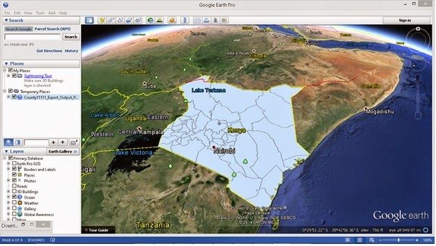
Below is an image showing how the counties KMZ file(which was converted from shapefile) fits exactly onto the Google Earth Kenyan boundary.
Click here to have a feel of the web map
Below is an image showing how the counties KMZ file(which was converted from shapefile) fits exactly onto the Google Earth Kenyan boundary.


0 comments:
Post a Comment